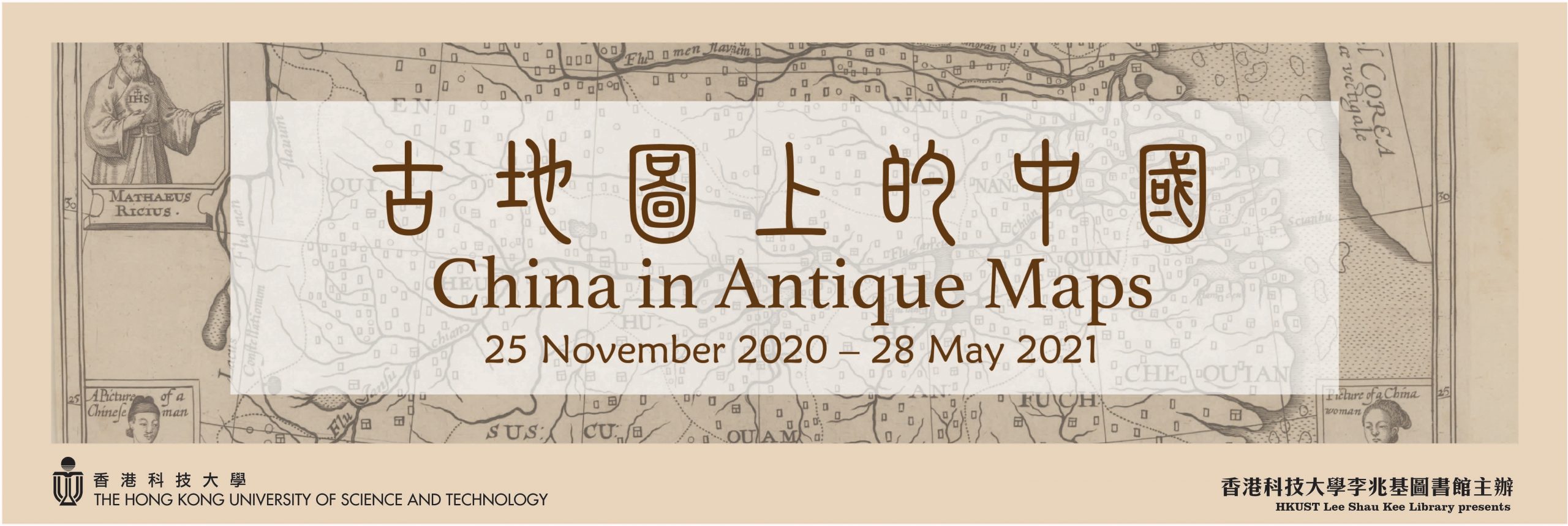
- Date: November 25, 2020 – December 3, 2021
- Venue: The Hong Kong Chiu Chow Chamber of Commerce Ko Pui Shuen Gallery
- Opening Hours: Monday – Friday: 9:00 a.m. – 5:00 p.m.; Saturday, Sunday and Public Holidays: Closed
(Due to campus access controls, visitors who do not have a valid University card please pre-register by sending an e-mail to lbarsc@ust.hk or call 2358-6783 prior to coming for a visit.)
In 1584, the mapmaker Ortelius published the first European map of China. Since then, maps of China appeared in many different forms in European printing: as loose sheets, in atlases, on frontispieces or as playing cards. However, up until now, there has not been any scholarly effort to collect and study these maps in a comprehensive work. With the generous support of Dr. Ko Pui Shuen, the HKUST Library embarked on a project to publish a new book which will give the first complete coverage of Western printed maps of China from the beginning to the age of the Enlightenment.
This exhibition shows the maps in the HKUST Library Special Collections that are featured in the book. They include precious items that have been in our legacy collection since it was first founded; as well as a number of new acquisitions that were made possible by Dr. Ko’s generosity.
One of the most valuable recent acquisitions, and the earliest map on display, is the rubbing of a Chinese map carved into stone in 1137 — the Yu Ji Tu (Map of the Tracks of Yu). It was the most accurate map in the world in the 12th Century. Our latest map in this exhibition is a 1735 map printed in France; it was the result of a joint European and Chinese survey published first in Chinese, then in French. Between these two dates are maps that come in numerous forms and sizes: in giant and pocket atlases and in loose sheets, on the front page of Jesuit reports (including the first edition of Matteo Ricci’s memoirs), large and small, black and white or in dazzling colours.
By admiring these beautiful visualizations of China, through Chinese and Western eyes, one can appreciate the evolution of mapping techniques, the evolving Western knowledge of China and its diffusion, as well as the change in taste and style of Western printing art. The book is expected to be published in the first half of 2022.


